|
|
|||||||||||||
|
|
|||||||||||||
|
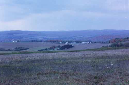
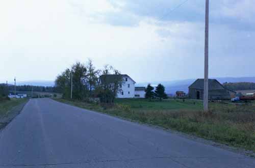
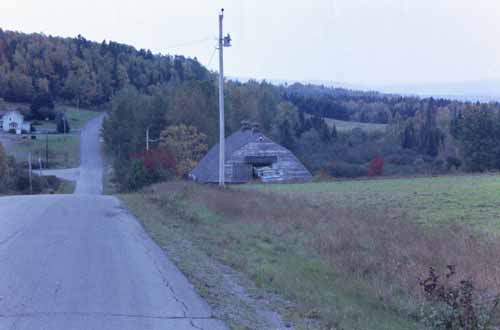
Most development in New Canada is along Route 161, in Daigle, or along the western border of the town, along New Canada Road or Strip Road, northeast of Soldier Pond. Future development is expected to be in these areas, as well. |
|||||||||
 |
|||||||||
 |
|||||||||
|
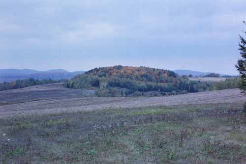
The stated intent of the town planning board is that the remaining undeveloped areas of New Canada will remain in their natural state, used for agricultural and forest purposes. |
|||||||||
 |
|||||||||
 |
|||||||||
|
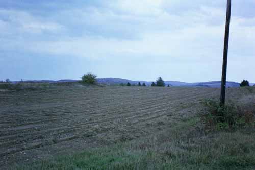
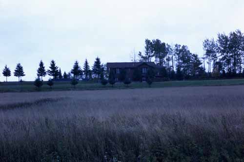
The soil in New Canada consists almost entirely of irregular sloping soils on till derived mostly from acid rocks, similar to that found in the St. John Valley above Grand Isle. As stated earlier, the agricultural land is primarily used for potato production, or in rotation for that purpose. New Canada is known as a source for seed potatoes, with more than half of its potatoes grown for that purpose. |
|||||||||
 |
|||||||||
 |
|||||||||